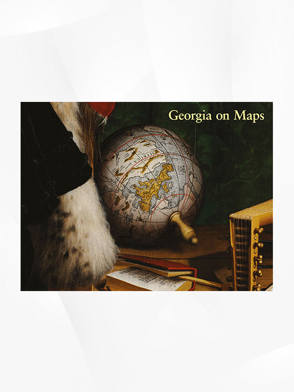
Georgia on Maps
This book was intended for a large audience – both for those who love cartography, and for those who are particularly interested in depictions of Georgia and the Caucasus on old or antique maps. This is the first real attempt to uncover how Georgia was represented throughout the development of cartography, a question that has hitherto been largely ignored and little researched. As in many regions of the world that are unfortunately home to various conflicts, interest in old maps is often limited to the borders they depict and to their usefulness in terms of controversial political goals. We hope this book will inspire further research, and that it will please all those with an interest in the history of cartography.
₾55.90


